Neighbors John Bauer, right, and Fahmi Osman help residents dig their vehicles out of the snow after Saturdays blizzard, in Minneapolis, Minn., Sunday, April 15, 2018. (Jerry Holt/Star Tribune via AP)
MINNEAPOLIS (AP) — Records fell as an April snowstorm blanketed the Upper Midwest.
The National Weather Service says the 14.9 inches (37.8 centimeters) at Minneapolis airport from Friday through Sunday set a record for the largest April snowstorm ever there. It’s also the snowiest April on record in the Twin Cities. And it’s the snowiest start to a calendar year there, with 70.3 inches (178.6 centimeters) since Jan. 1.
In South Dakota, Sioux Falls set records for a single day in April at 13.7 inches (34.8 centimeters) Saturday and a record April total of 24.9 inches (63.2 centimeters). Huron and Mitchell set two-day record totals for April of 15.5 (39.4 centimeters) and 16.2 inches (41.1 centimeters) respectively.
In Wisconsin, the storm ranks as the all-time second largest snowstorm in Green Bay at 23.5 inches (59.7 centimeters) and a record April total of more than 35 inches (89 centimeters) there.
Ref.: https://www.yahoo.com/news/snow-records-toppled-south-dakota-minnesota-wisconsin-153358508.html?soc_src=community&soc_trk=fb
Algeria Tornado, USA Blizzards & Waves, Polar Ice Temps Recover
………
Midwest’s April Chill Most Unusual On Earth

By Roy Spencer PhD
If you thought the cold April weather in the U.S. was exceptional, you are correct. In terms of temperature departures from average so far this April, the U.S. Midwest, Northern Plains, and much of Canada have been the coldest on Earth (graphic courtesy of Weatherbell.com). Surface temperature departures from normal for April 1 through April 15, 2018.
The areas of green have averaged at least 6 deg. F below normal, the areas in purple have been at least 13 deg. F below normal and spots in North Dakota and Montana have averaged close to 20 deg F below normal over the last two weeks.
In contrast, the global average temperature has been running 0.5 deg. F above the 1981-2010 average.
Snow flurries were experienced as far south as Russellville, Alabama, yesterday, and flurries are still falling in portions of Tennessee.
Green Bay, WI, received two feet of new snow from the slow-moving snow and ice storm still affecting the Great Lakes region.
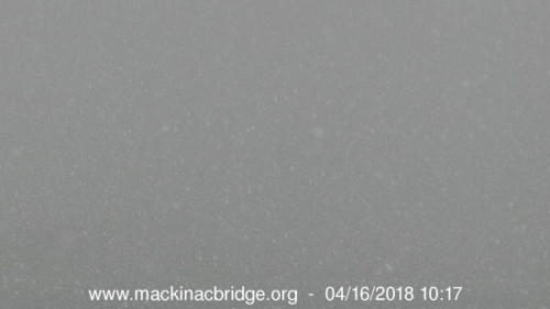
Northern Michigan is still experiencing heavy snow, with whiteout conditions this morning at the Mackinac Bridge, which connects Michigan’s Upper and Lower Peninsulas:


Read more at Dr. Roy Spencer


